Übersetzung und Analyse von Wörtern durch künstliche Intelligenz ChatGPT
Auf dieser Seite erhalten Sie eine detaillierte Analyse eines Wortes oder einer Phrase mithilfe der besten heute verfügbaren Technologie der künstlichen Intelligenz:
- wie das Wort verwendet wird
- Häufigkeit der Nutzung
- es wird häufiger in mündlicher oder schriftlicher Rede verwendet
- Wortübersetzungsoptionen
- Anwendungsbeispiele (mehrere Phrasen mit Übersetzung)
- Etymologie
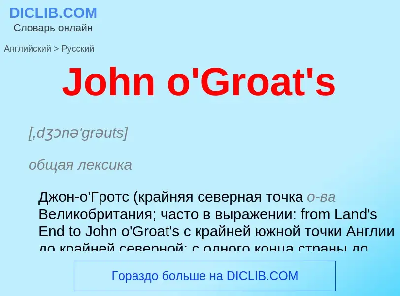
John o'Groat's - Übersetzung nach Englisch
[,dʒɔnə'grəuts]
общая лексика
Джон-о'Гротс (крайняя северная точка о-ва Великобритания; часто в выражении: from Land's End to John o'Groat's с крайней южной точки Англии до крайней северной; с одного конца страны до другого)
полное выражение
John o'Groat's House; по имени голландского поселенца Яна Гроота, обосновавшегося на северной оконечности Шотландии при Якове IV [James IV, 1473-1513], короле Шотландии
синоним
Wikipedia

Land's End to John o' Groats is the traversal of the length of the island of Great Britain between two extremities, in the southwest and northeast. The traditional distance by road is 874 miles (1,407 km) and takes most cyclists 10 to 14 days; the record for running the route is nine days. Off-road walkers typically walk about 1,200 miles (1,900 km) and take two or three months for the expedition. Signposts indicate the traditional distance at each end.
- Land's End is the traditionally acknowledged extreme western point of mainland England. It is in western Cornwall at the end of the Penwith peninsula. The O.S. Grid Reference of the road end is SW342250, Postcode TR19 7AA. In fact it, or strictly speaking Dr Syntax's Head, SW341253, a few hundred yards NW of the road end, is mainland England's most westerly point. The most southerly point is Lizard Point, about 9 miles (14 km) further south. Land's End is sometimes reckoned incorrectly as mainland Great Britain's most southwesterly point. This accolade belongs to Gwennap Head, SW365215, which is at least 2 miles (3.2 km) further south than Dr Syntax's Head but only about 1.5 miles (2.4 km) less west.
- John o' Groats is the traditionally acknowledged extreme northern point of mainland Scotland, in northeastern Caithness, O.S. Grid Reference ND380735, Postcode KW1 4YR. The actual northernmost point is Dunnet Head about 2 miles (3 km) further north. The point that is farthest by road from Land's End is Duncansby Head, about 2 miles (3 km) east of John o' Groats. Duncansby Head is also the most northeasterly point of the British mainland.
The straight-line distance from Land's End to John o' Groats is 603 miles (970 km) as determined from O.S. Grid References, but such a route passes over a series of stretches of water in the Irish Sea. Google Earth reports a distance of 602.70 miles between the two iconic marker points.
According to a 1964 road atlas, the shortest route using classified roads was 847 miles (1,363 km) but in a 2008 road atlas, the shortest route using classified roads was 838 miles (1,349 km). An online route planner in 2021 also calculated the quickest route by road as 837 miles (1,347 km), estimating a time of 14 hours 50 minutes for the journey (this uses the A30, M5, M6, A74(M), M74, M73, M80, M9, A9 & A99) but the overall shortest route by road, using minor roads in numerous places and utilising modern bridges, is only about 814 miles (1,310 km). This route is roughly as follows: Land's End, Bodmin, Okehampton, Tiverton, Taunton, Bridgwater, the M5 Avon Bridge, the M48 Severn Bridge, Monmouth, Hereford, Shrewsbury, Tarporley, St Helens, Preston, Carlisle, Beattock, Carstairs, Whitburn, Falkirk, Stirling, Crieff, Kenmore, Dalchalloch, A9, Inverness, Kessock Bridge, Cromarty Bridge, Dornoch Firth Bridge, Latheron, Wick, John o' Groats.
Google Maps, on 2 August 2017, calculated the fastest route by car, from the Land's End Visitor Centre to John o' Groats as being 837 miles (1,347 km) and taking 14 hours 40 minutes. It also showed a walking route of 811 miles (1,305 km), which it suggested would take 268 hours, and involve an elevation gain of 30,148 feet (9,189 m) and an elevation fall of 30,272 feet (9,227 m).


![[[Tony Wilding]] at Land's End off to John o' Groats [[Tony Wilding]] at Land's End off to John o' Groats](https://commons.wikimedia.org/wiki/Special:FilePath/Anthony Frederick Wilding on a motorcycle.jpg?width=200)


![Capetian]] holdings in France. Blue: French royal domains,
Green: Fiefs held on behalf of the French crown,
Yellow: Church lordships,
Red: Fiefs held on behalf of the English crown Capetian]] holdings in France. Blue: French royal domains,
Green: Fiefs held on behalf of the French crown,
Yellow: Church lordships,
Red: Fiefs held on behalf of the English crown](https://commons.wikimedia.org/wiki/Special:FilePath/English and French holdings 1180-1223.png?width=200)
.jpg?width=200)
![A [[silver]] King John [[penny]] A [[silver]] King John [[penny]]](https://commons.wikimedia.org/wiki/Special:FilePath/John penny.jpg?width=200)
![stag hunt]] stag hunt]]](https://commons.wikimedia.org/wiki/Special:FilePath/King John hunting - Statutes of England (14th C), f.116 - BL Cotton MS Claudius D II.jpg?width=200)
.jpg?width=200)
