Εισάγετε μια λέξη ή φράση σε οποιαδήποτε γλώσσα 👆
Γλώσσα:
Μετάφραση και ανάλυση λέξεων από τεχνητή νοημοσύνη
Σε αυτήν τη σελίδα μπορείτε να λάβετε μια λεπτομερή ανάλυση μιας λέξης ή μιας φράσης, η οποία δημιουργήθηκε χρησιμοποιώντας το ChatGPT, την καλύτερη τεχνολογία τεχνητής νοημοσύνης μέχρι σήμερα:
- πώς χρησιμοποιείται η λέξη
- συχνότητα χρήσης
- χρησιμοποιείται πιο συχνά στον προφορικό ή γραπτό λόγο
- επιλογές μετάφρασης λέξεων
- παραδείγματα χρήσης (πολλές φράσεις με μετάφραση)
- ετυμολογία
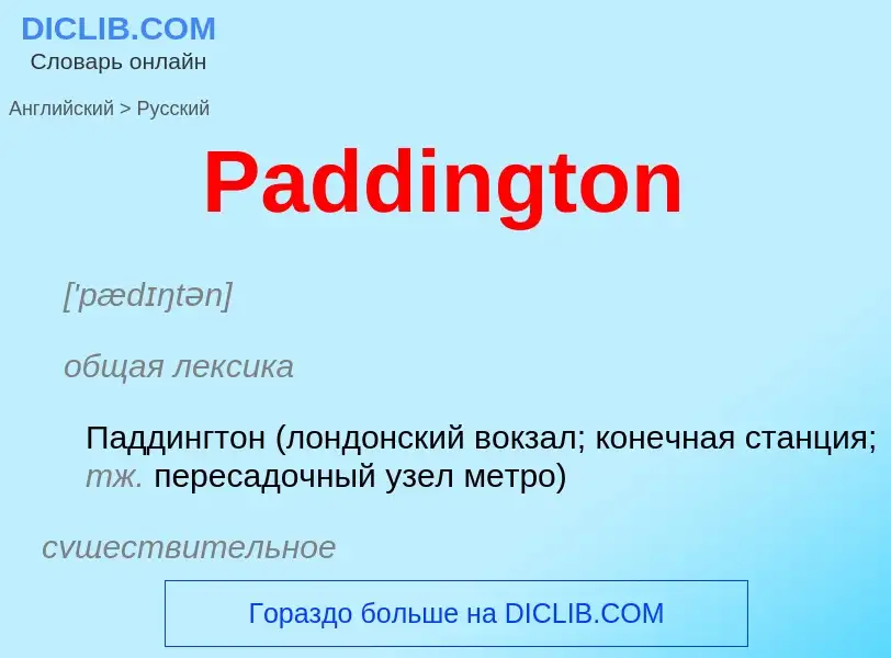
Paddington - translation to ρωσικά
СТРАНИЦА ЗНАЧЕНИЙ В ПРОЕКТЕ ВИКИМЕДИА
Paddington
Paddington
AREA WITHIN THE CITY OF WESTMINSTER, IN CENTRAL LONDON
Paddington, London, England; Paddington, London; Paddington, Central London
['pædɪŋtən]
общая лексика
Паддингтон (лондонский вокзал; конечная станция; тж. пересадочный узел метро)
существительное
география
Паддингтон (район Лондона)
Metropolitan Railway
UNDERGROUND RAILWAY IN LONDON
Metropolitan and St John's Wood Railway; Metropolitan & St. John's Wood Railway; Metropolitan Railway Company; Metropolitan and Metropolitan District Railways; Robert Selbie; Metropolitan Underground Railway; Bayswater, Paddington and Holborn Bridge Railway; North Metropolitan Railway
[,metrə'pɔlɪttn,reɪlweɪ]
общая лексика
Столичная железная дорога (старое название лондонской подземной железной дороги. Была открыта в 1863; в наст. вр. входит в сеть лондонского метро)
синоним
the train ran in at Paddington
поезд подошёл к платформе вокзала Паддингтон
Βικιπαίδεια
Паддингтон (значения)
Паддингтон (англ. Paddington):
Παραδείγματα από το σώμα κειμένου για Paddington
1. Trains are running again on the Hammersmith and City Line between Hammersmith and Paddington, but not between Paddington and Barking.
2. Earlier this month Paddington Bear‘s creator Michael Bond was accused of ‘selling out‘ by letting Paddington ditch his beloved marmalade in favour of Marmite in a TV advert.
3. Services between Hammersmith and Paddington on the Hammersmith and City line are running again, but still remain suspended between Paddington and Barking.
4. The 1 billion site in the Paddington Basin was to house the existing hospitals of St Marys Paddington, the Harefield and the Royal Brompton.
5. It makes writing the stories a pleasure." Paddington Here and Now will have a cover illustration by Peggy Fortnum, 85, who did the first drawings of Paddington.


![St Pancras]] (yellow). These Parliamentary Boroughs, like the subsequent Metropolitan Boroughs used the ancient parish boundaries. St Pancras]] (yellow). These Parliamentary Boroughs, like the subsequent Metropolitan Boroughs used the ancient parish boundaries.](https://commons.wikimedia.org/wiki/Special:FilePath/LONDON, MARYLEBONE by BARTLETT, F.A. and B.J. DAVIES.jpg?width=200)
![[[Paddington railway station]] [[Paddington railway station]]](https://commons.wikimedia.org/wiki/Special:FilePath/Paddington Station.jpg?width=200)
![Paddington Town Hall]] Paddington Town Hall]]](https://commons.wikimedia.org/wiki/Special:FilePath/Paddington Town Hall, Kilburn.jpg?width=200)
![St Mary on Paddington]], a Georgian church commissioned in 1788 St Mary on Paddington]], a Georgian church commissioned in 1788](https://commons.wikimedia.org/wiki/Special:FilePath/St Mary's Church, Paddington Green, W2 - geograph.org.uk - 351966.jpg?width=200)
![[[The Rolling Bridge]] at Paddington, designed by [[Thomas Heatherwick]]. [[The Rolling Bridge]] at Paddington, designed by [[Thomas Heatherwick]].](https://commons.wikimedia.org/wiki/Special:FilePath/The Rolling Bridge by Thomas Heatherwick, Paddington Basin2.jpg?width=200)

![[[Sussex Gardens]] [[Sussex Gardens]]](https://commons.wikimedia.org/wiki/Special:FilePath/SussGdns.jpg?width=200)


![alt=A black and white image of an [[electric locomotive]] hauling at least 6 coaches, shown with the electric locomotive on the right. A track in the foreground is electrified with the fourth rail system. The locomotive is shown with two pick-up shoes. alt=A black and white image of an [[electric locomotive]] hauling at least 6 coaches, shown with the electric locomotive on the right. A track in the foreground is electrified with the fourth rail system. The locomotive is shown with two pick-up shoes.](https://commons.wikimedia.org/wiki/Special:FilePath/Electric locomotive and train, Metropolitan Railway (CJ Allen, Steel Highway, 1928).jpg?width=200)

.png?width=200)
![The [[coat of arms]] of the Metropolitan Railway, combining the arms of London, Middlesex, Buckinghamshire and Hertfordshire <!---Yes, it is Middlesex, not Essex: the two counties had identical shields until 1910---> The [[coat of arms]] of the Metropolitan Railway, combining the arms of London, Middlesex, Buckinghamshire and Hertfordshire <!---Yes, it is Middlesex, not Essex: the two counties had identical shields until 1910--->](https://commons.wikimedia.org/wiki/Special:FilePath/MetropolitanRailwayCoatOfArms.jpg?width=200)

.jpg?width=200)


